Weston Family Tract Conservation Fact Sheet
The Weston Family Tract
The conservation of over 1,500 acres of prime farm land just outside of McEntire Joint National Guard Base will keep a significant local agriculture and forest ecosystem intact forever, provide a buffer of compatible use around an important military base in the Midlands.
Total Acres: 1,521.65
Location:
The Weston family's land is located in Richland County and lies within the COWASEE Basin, the Wateree and Santee River Watersheds, and a UNESCO World Biosphere Reserve.
Property Characteristics:
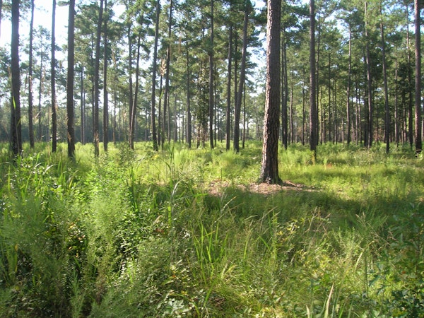
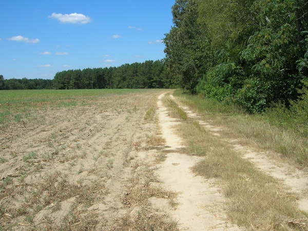
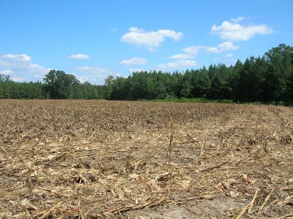
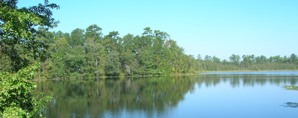
Pine forest, agriculture fields, ponds and wetlands.
Conservation Funding Partners:
The conservation of these lands was made possible in part by a grant from the United States Department of Defense in support of the Midlands Area Joint Installation Consortium (MAJIC). MAJIC seeks to promote the cooperative use of land, air, and water resources in the Midlands while effectively supporting the military’s training facilities in the area.
Wildlife:
This property supports populations of both game and non-game wildlife including white-tailed deer, grey squirrels, rabbits, wild turkey mourning dove, ducks, and various avian, reptile and amphibian and aquatic species. The listed rare, threatened or endangered wildlife that the land may support is the Black bear, Southern fox squirrel, Rafinesque's Big-eared bat, and the Bald eagle.
Public Benefits
By remaining in forestry and/or agriculture forever, this land permanently protects the water quality and air quality for all. The conservation of this land protects 2.21 miles along Tom's Creek, which flows into Cedar Creek located in the Congaree National Park, then onto the Congaree River. Scenic, rural views along Congaree Road, Congaree Church Road, Old Isaac Road and Wild Plum Creek Road are also conserved.